| |
Hiked Schrattenflue on a
beautiful day in the middle of October by first climbing to Mount Hengst
(2,092m) and then hiking along the ridge to Schibengütsch (2,037m) |
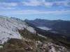 |
View to the central Swiss alps
across the "Schratten" (karst formation) |
 |
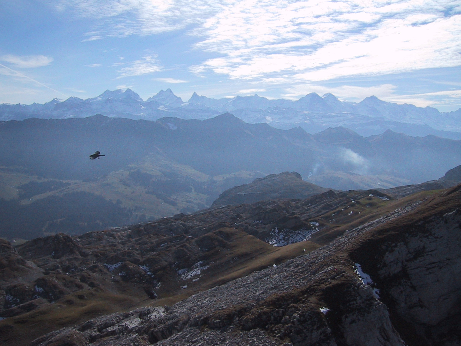
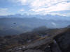
View to the Bernese Oberland
giants (Eigern, Mönch, Jungfrau) |
 |
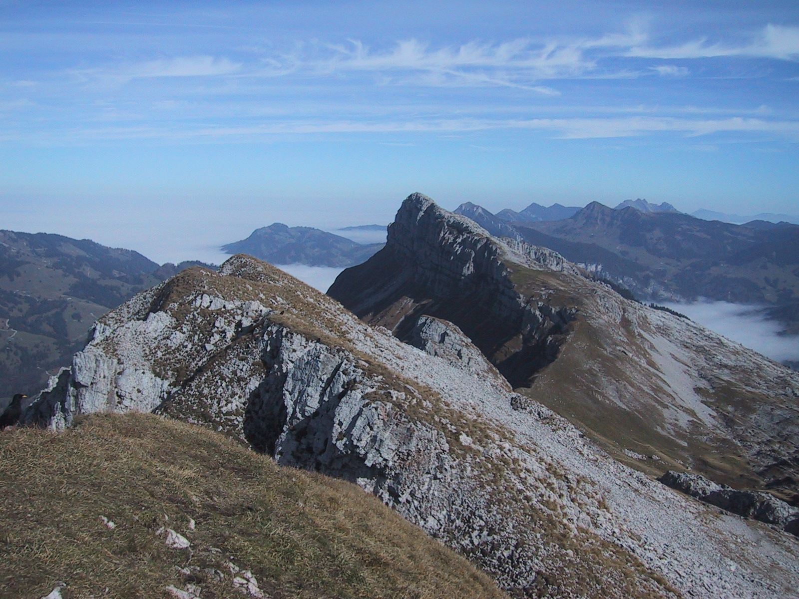
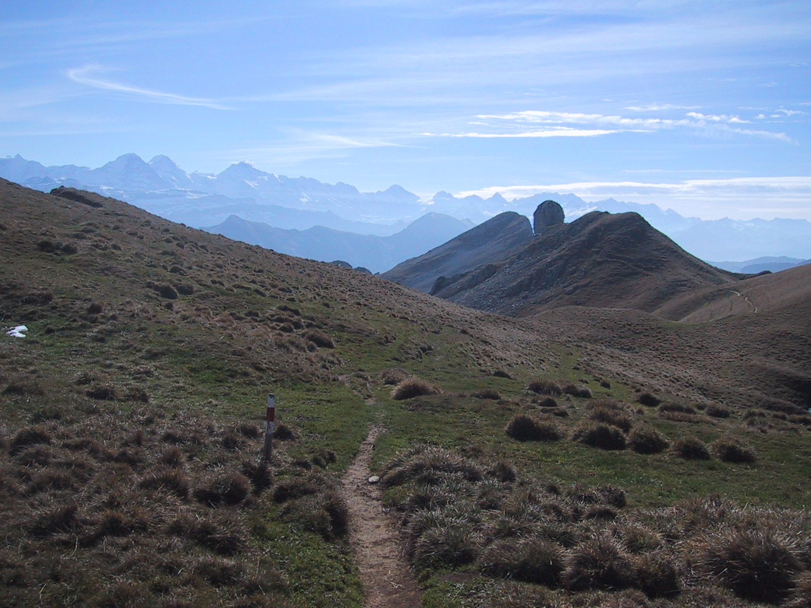
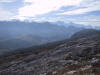
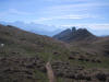
View from Mount Hengst along the
ridge (East view) |
 |
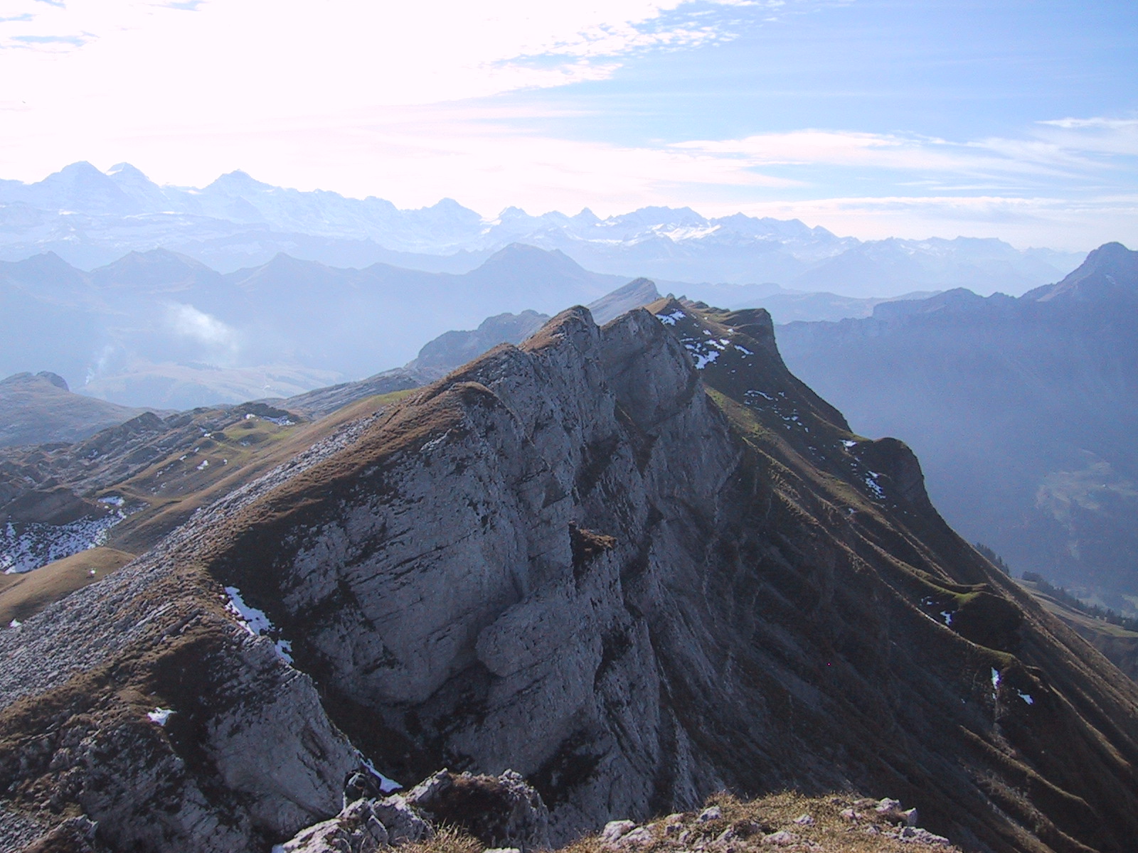
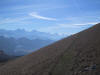
View from Mount Hengst to the
Bernese Oberland (West view) |
 |
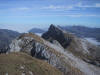
View along the ridge (West view) |
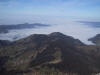 |
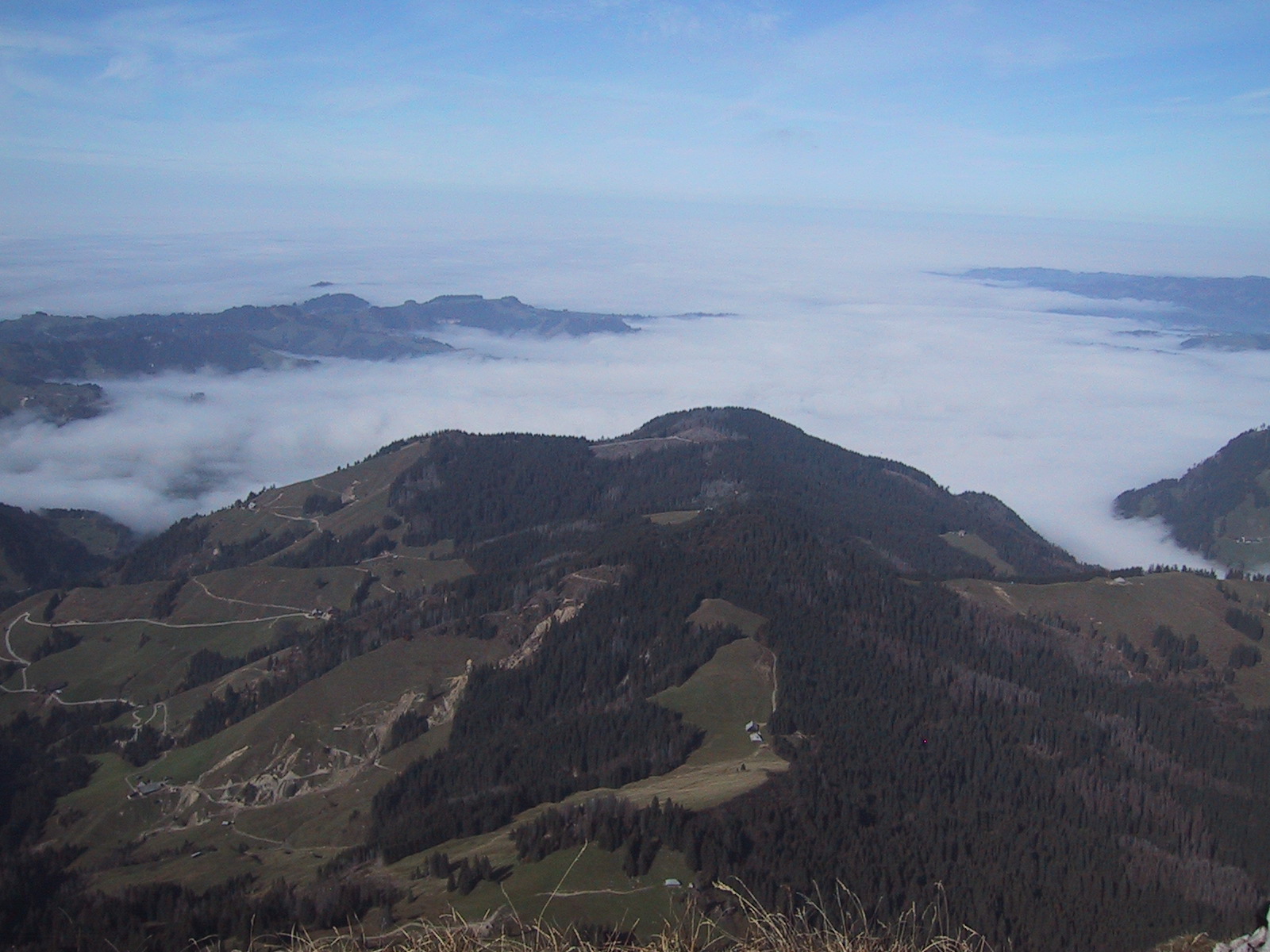
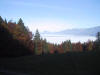
View north to the flatland
covered by fog |
 |
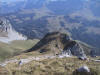
Hiking along the ridge |
 |
ditto |
 |
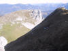
View from Schibengütsch down to
where the (former) hiking trail disappears in the rocks |
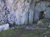 |
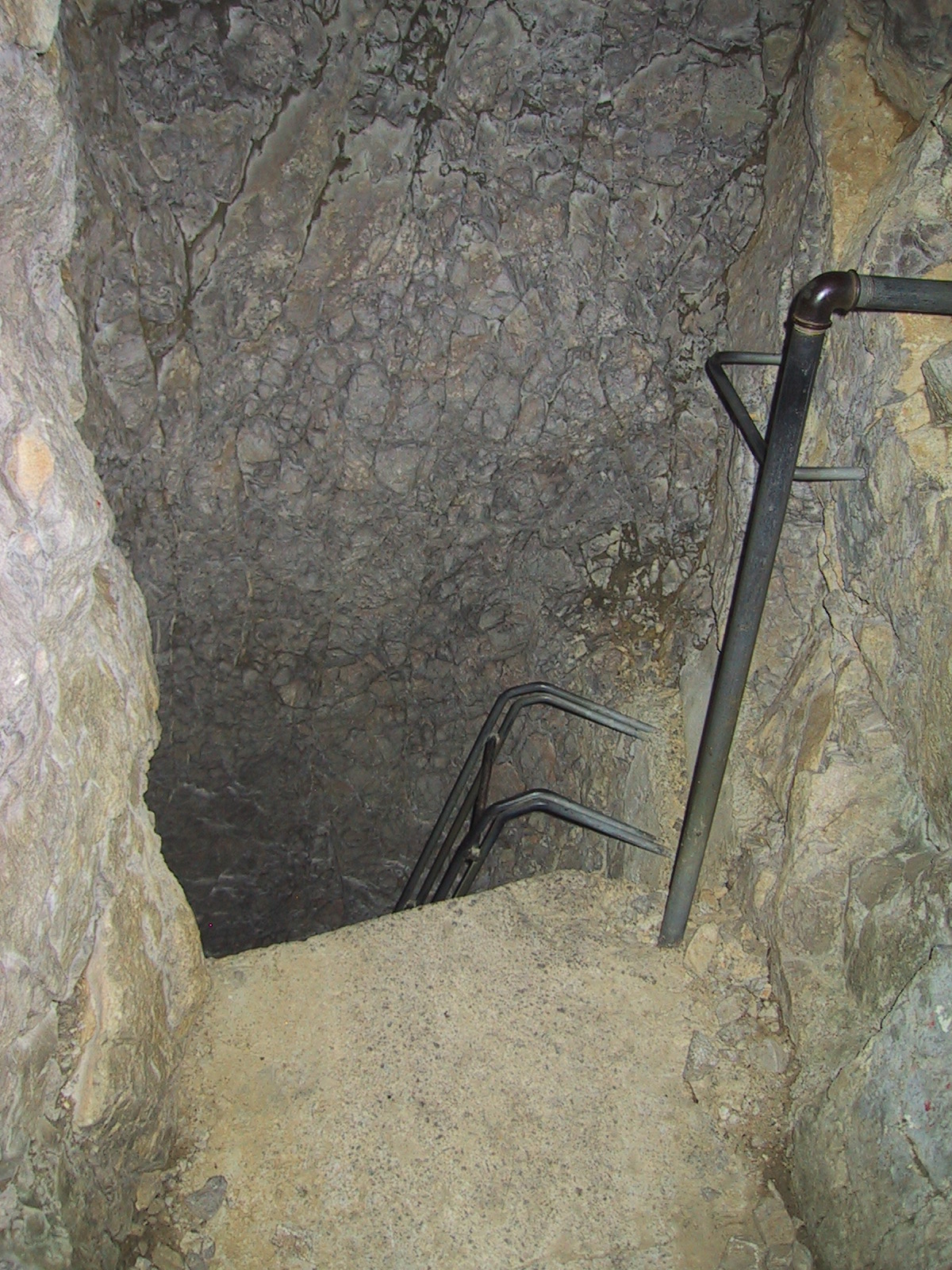
The trail literally disappears in
the rocks where ladders lead down an old army lookout |
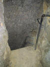 |
Without the flashlight the ladder
was actually in the pitch black |
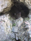 |
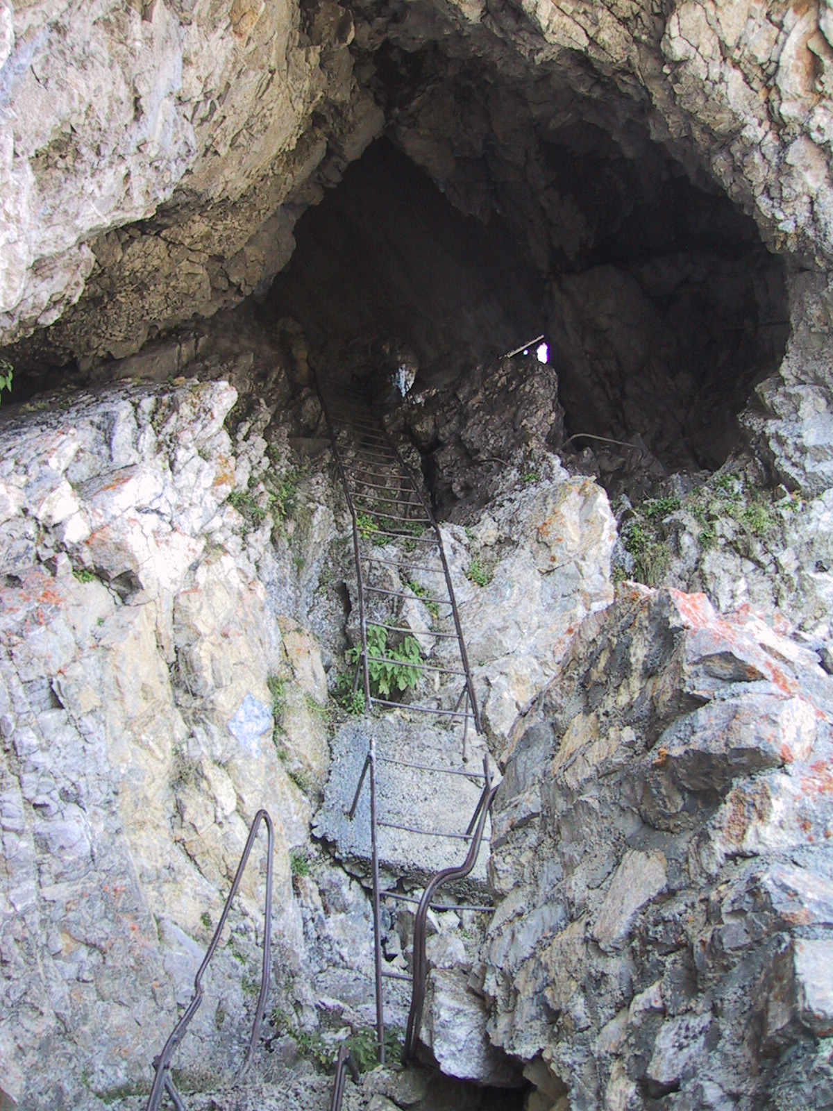
Exit after three sections of
ladders in the dark |
 |
Another surprise was the narrow,
very slippery grass path (I now at least know why the trail was discontinued) |
 |
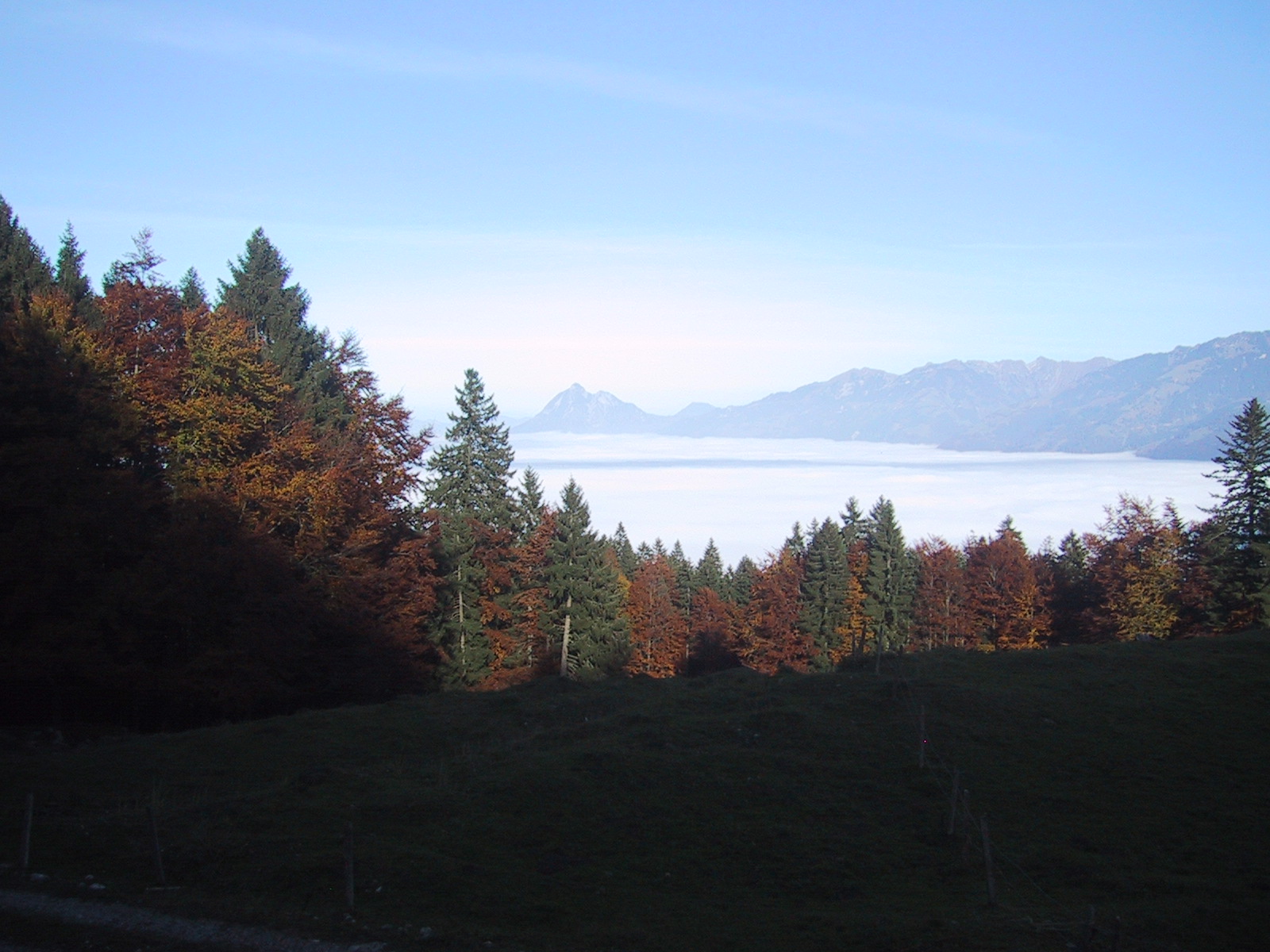
On the "Panorama Pass Road" on
the way back, trying to stay as long as possible above the fog |