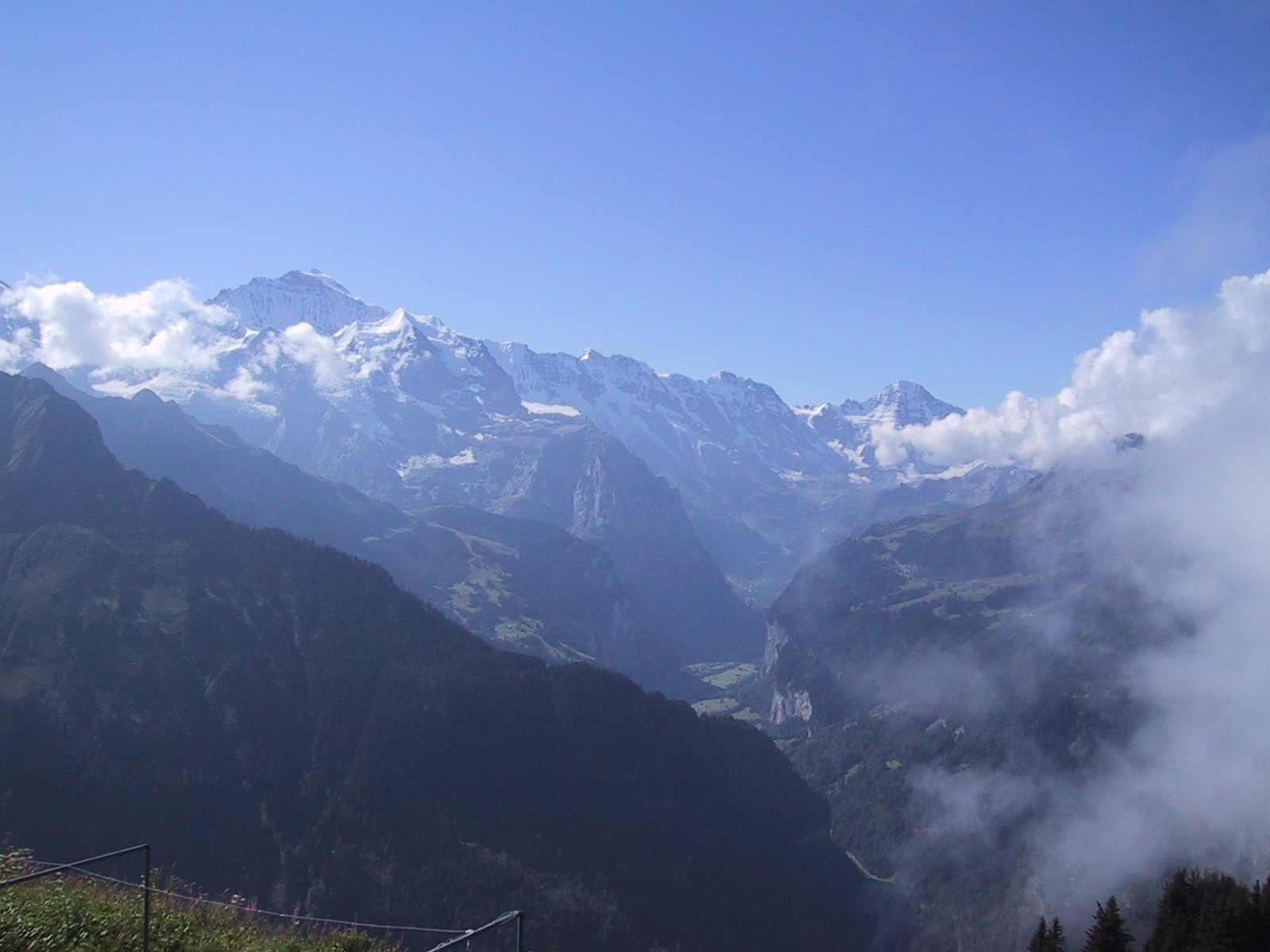
This picture shows Mount Jungfrau with the Lauterbrunnen Valley, the deepest valley carved out by a glacier.
www.swisswebcams.ch
|
|
These are pictures from one of
the greatest hikes worldwide. It starts on Schynige Platte (a viewpoint
high above Interlaken) and goes all along a ridge to Mount Faulhorn and
eventually Grindelwald. Along the the hike one always sees several lakes
and mountain ranges on the left and the great Mount Jungfrau region to the
right. This picture shows Mount Jungfrau with the Lauterbrunnen Valley, the deepest valley carved out by a glacier. |
|
|
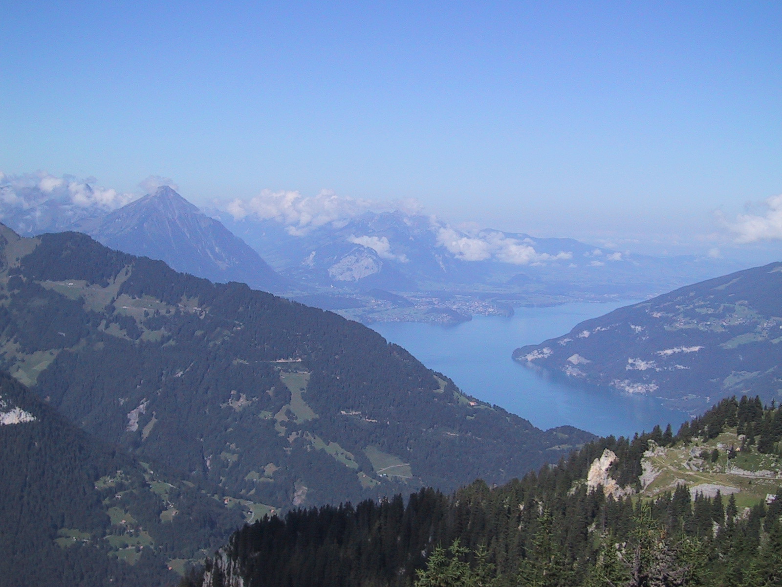
View north with Lake Thun and Mount Niesen (the Toblerone shaped mountain on the left, yes Mount Matterhorn is not the only Toblerone shaped mountain in Switzerland). |
|
|
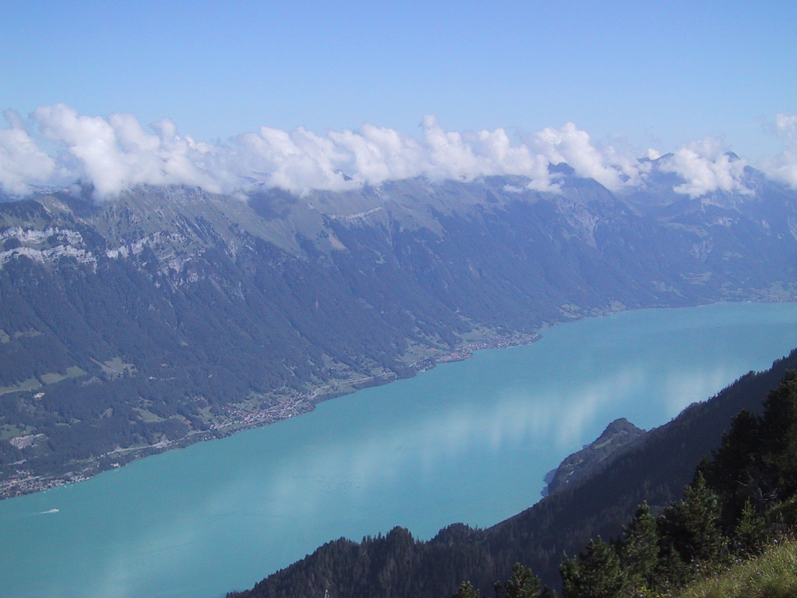
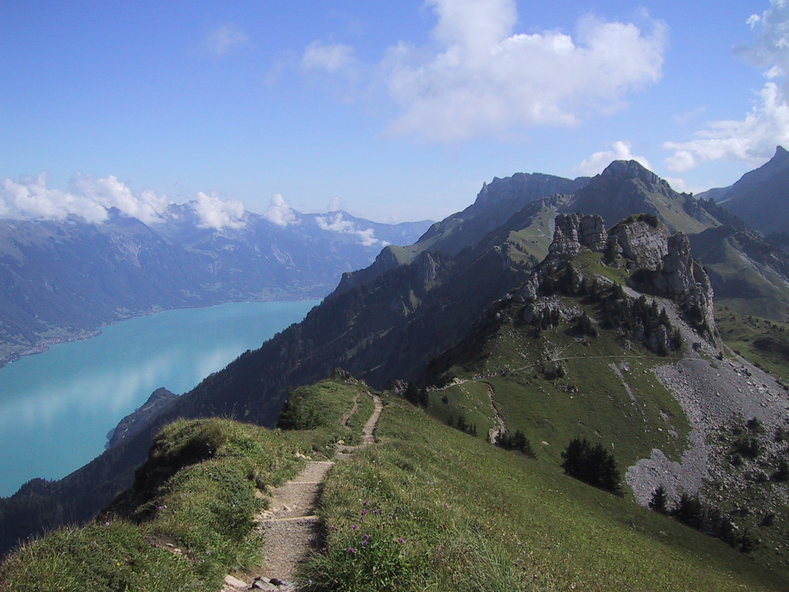
View east with Lake Brienz and Mount Brienzer Rothorn. The lake's colour is turquoise because it is fed by water melted from glaciers (a.k.a. glacier milk). The water in this lake is turned over every four days. |
|
|
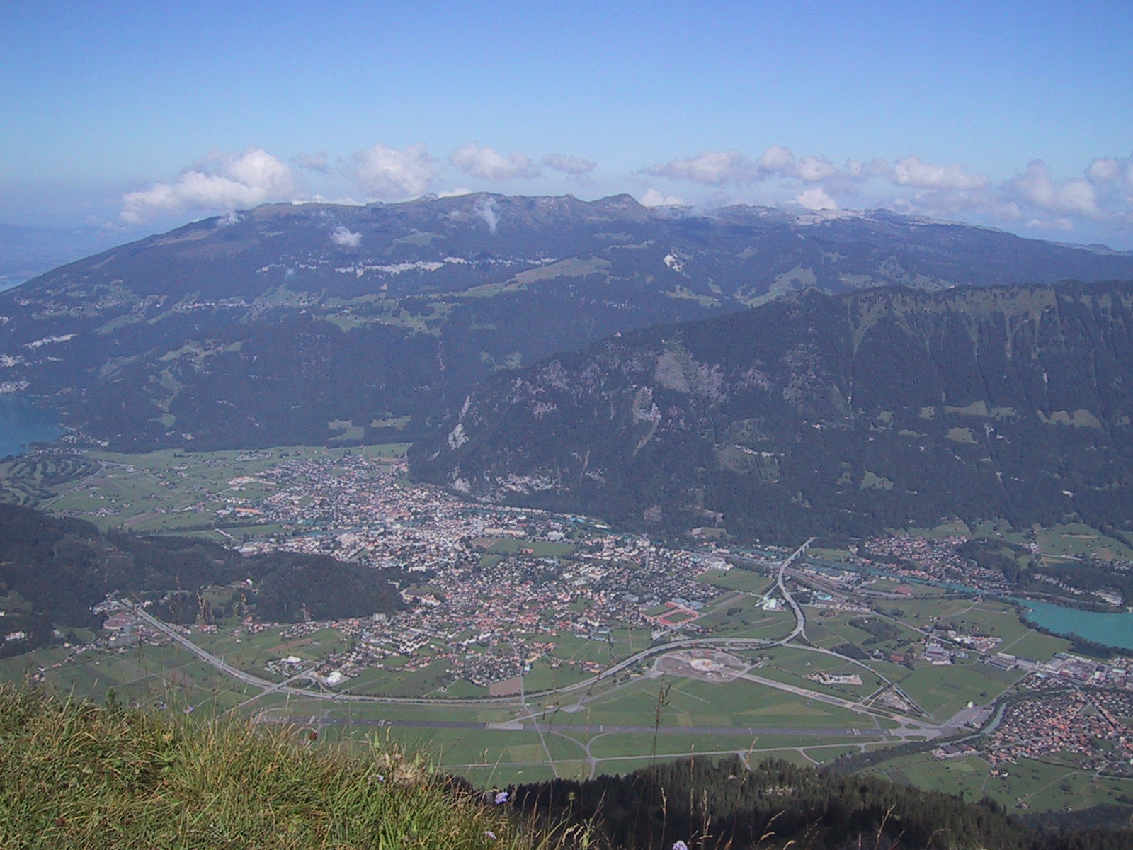
View north-east down to Interlaken with Mount Niederhorn in the background. |
|
|
View south-east along the ridge/hiking trail. |
|
|
View to Mount Jungfrau from the trail. |
|
|
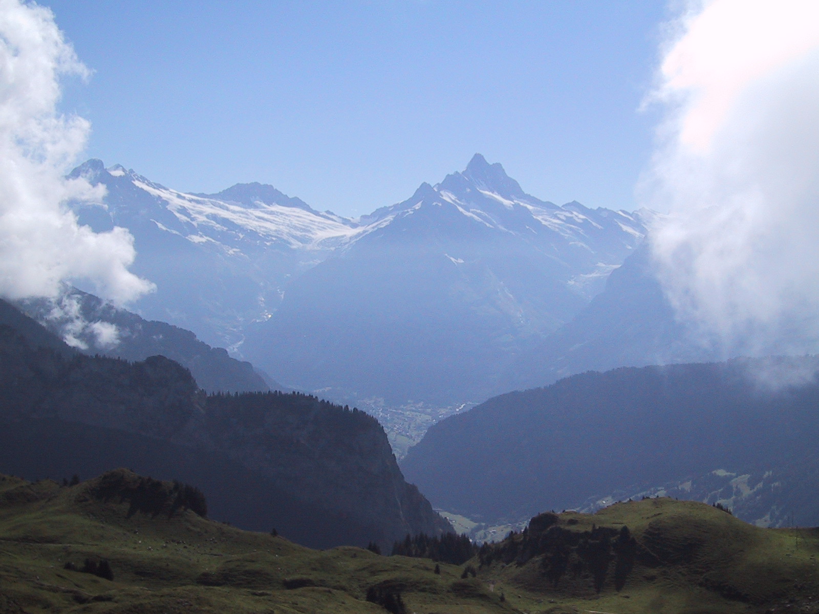
View south to Mount Schreckhorn and the Grindelwald valley. |
|
|
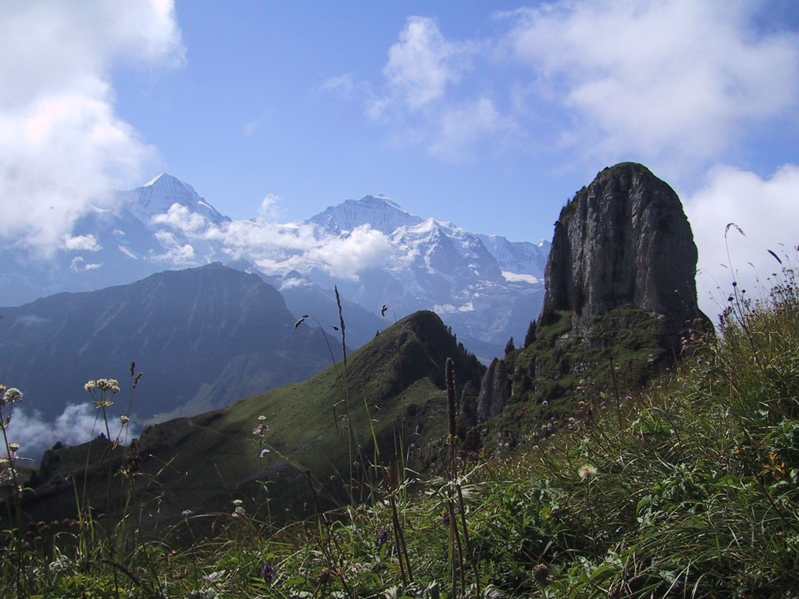
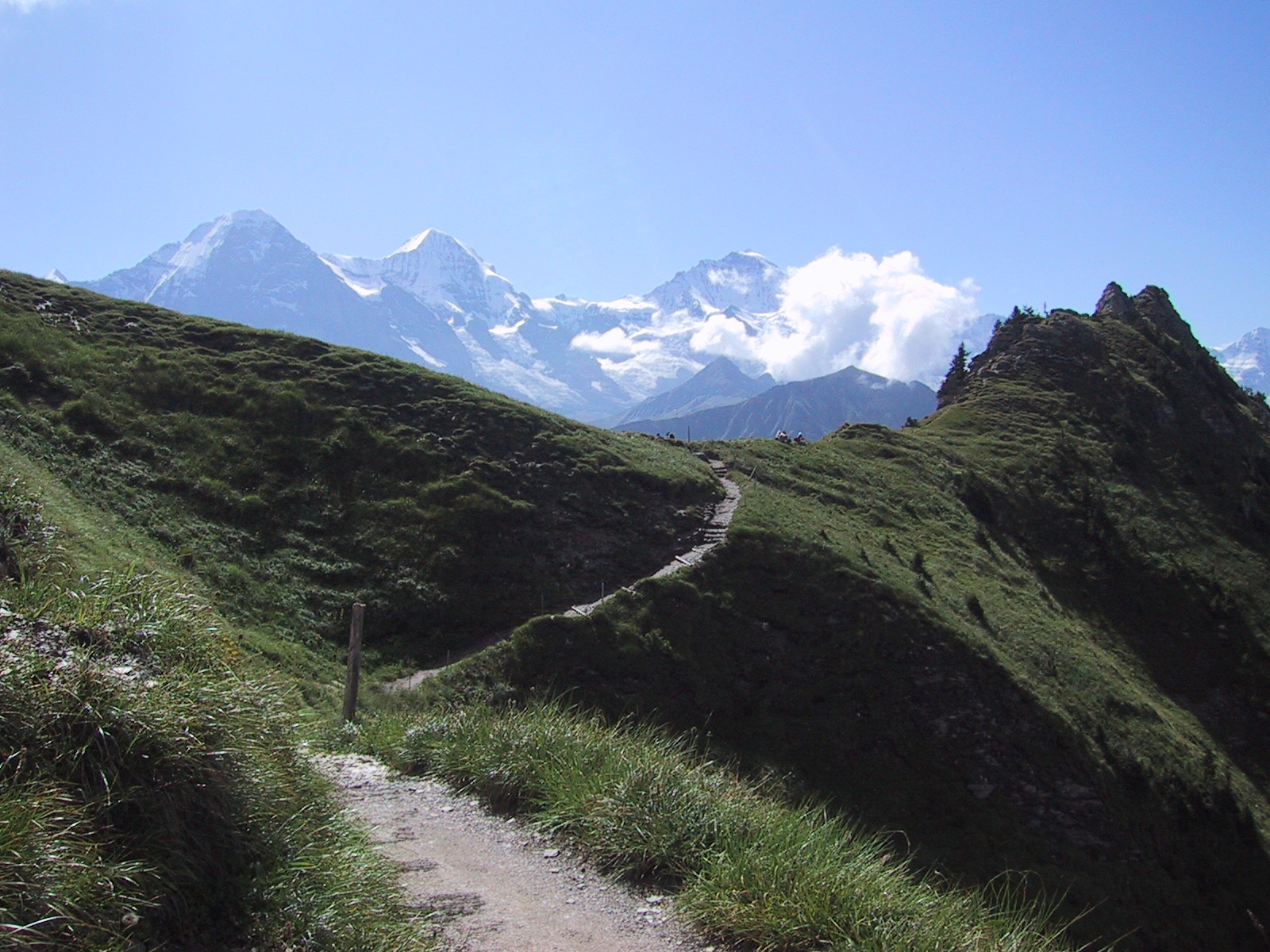
View from the trail to the triple mountain Eiger, Moench and Jungfrau. The daring Eiger north face is on the left. At this time I didn't know yet that I would climb Mount Moench (the one in the middle) two days later. |
|
|
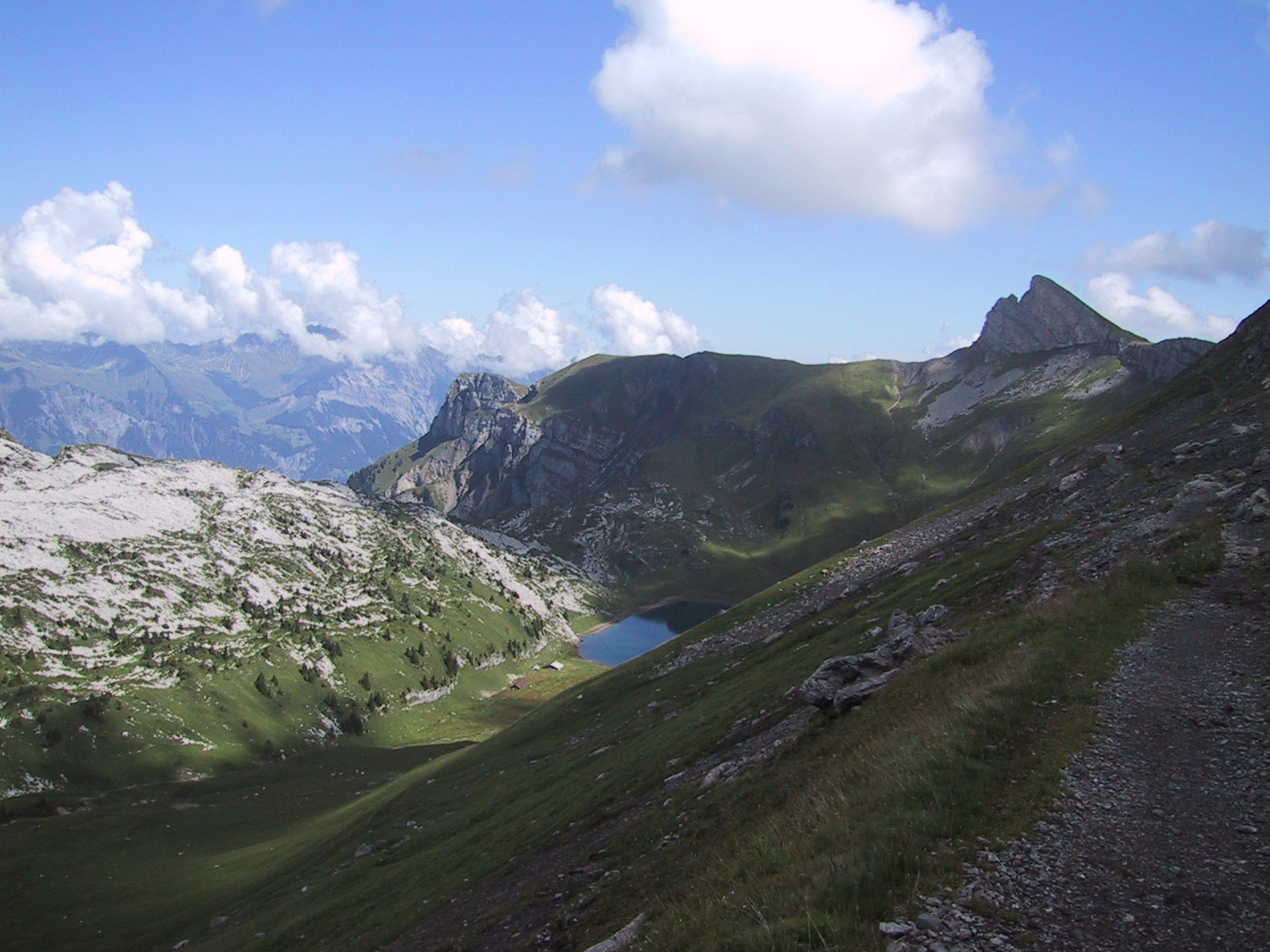
Little lake along the trail |
|
|
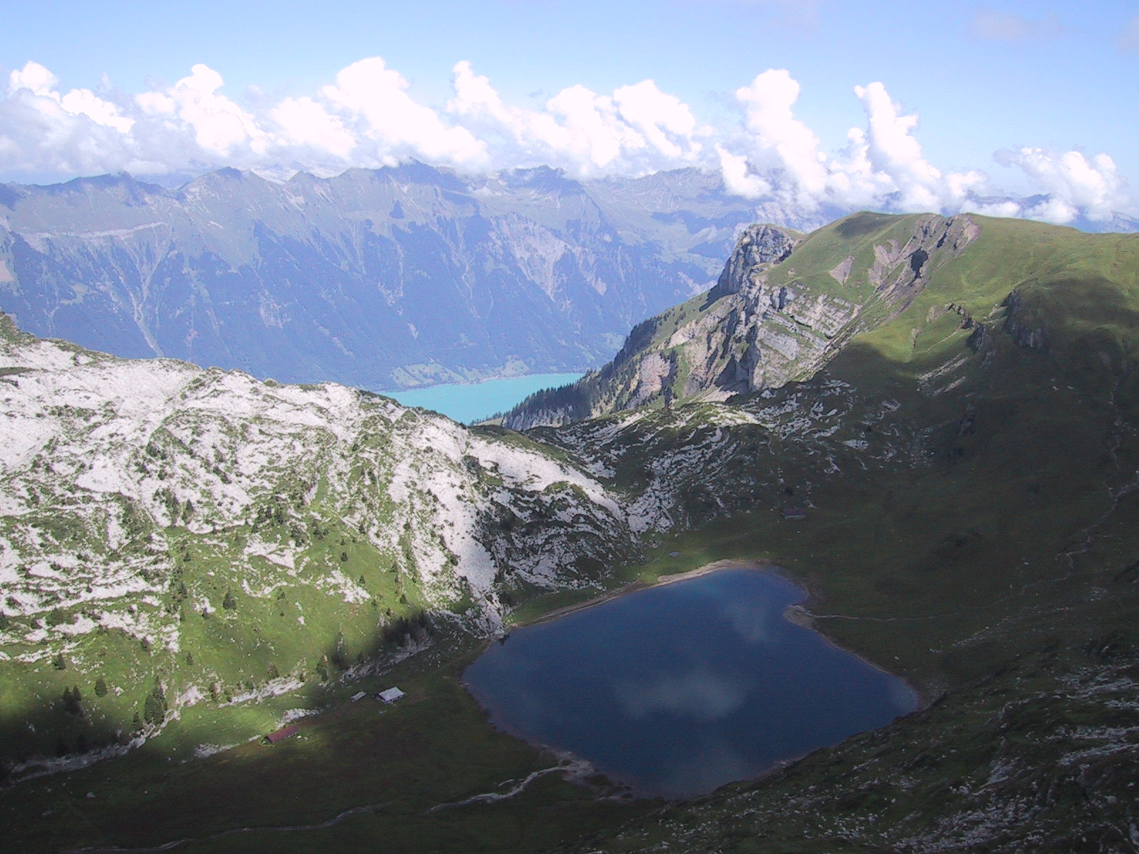
Another view to the little mountain lake with Lake Brienz in the background. |
|
|
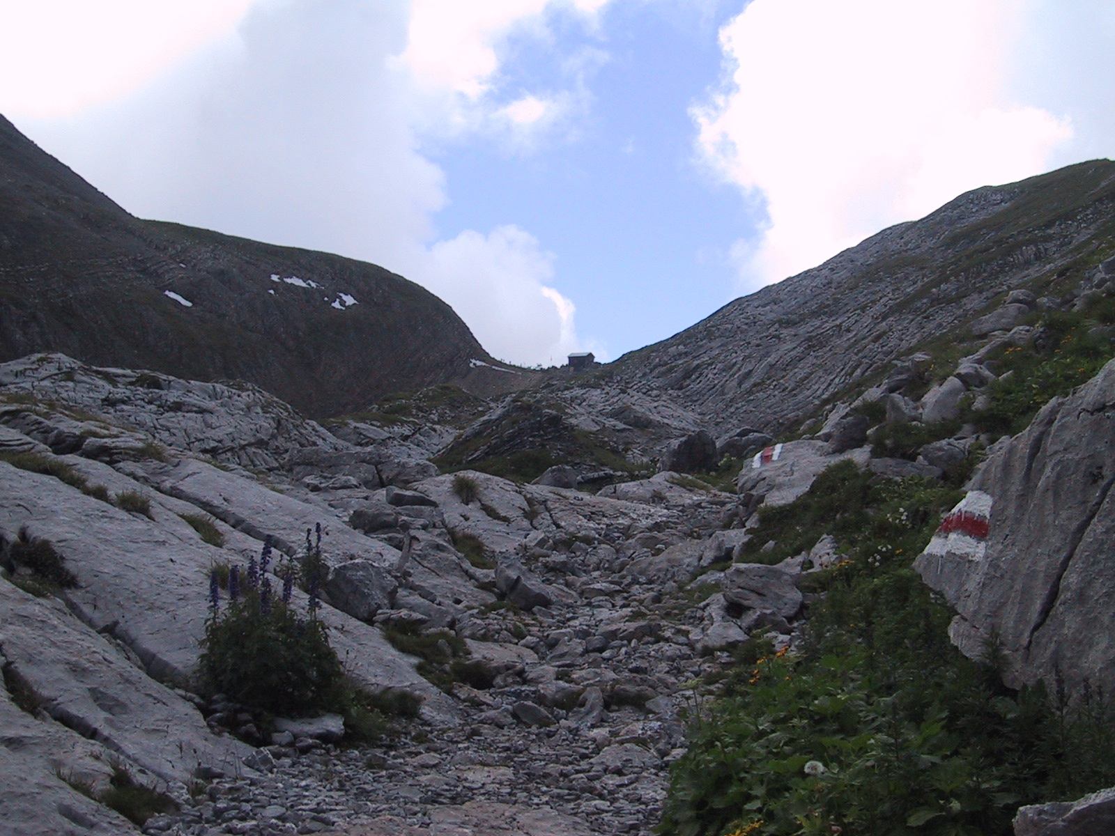
The trail now gets more rugged. |
|
|
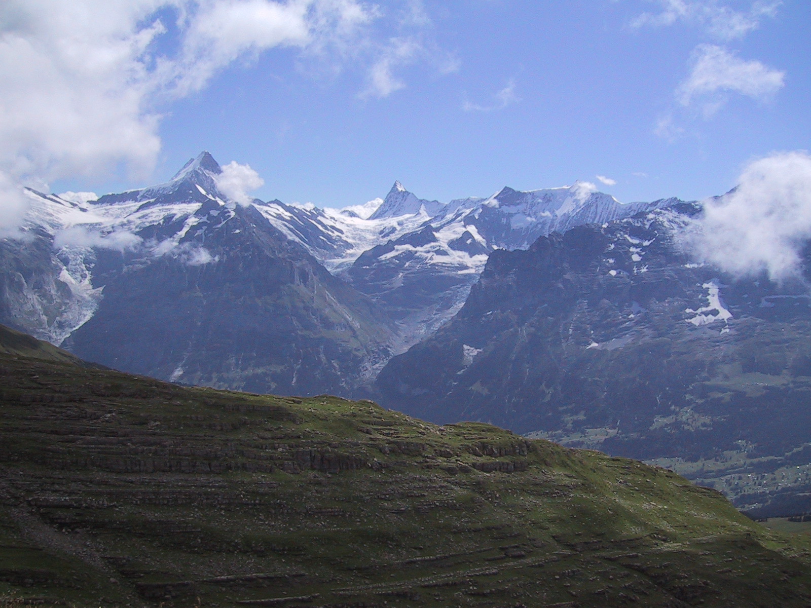
Another stunning view of Mount Finsterahorn. |
|
|
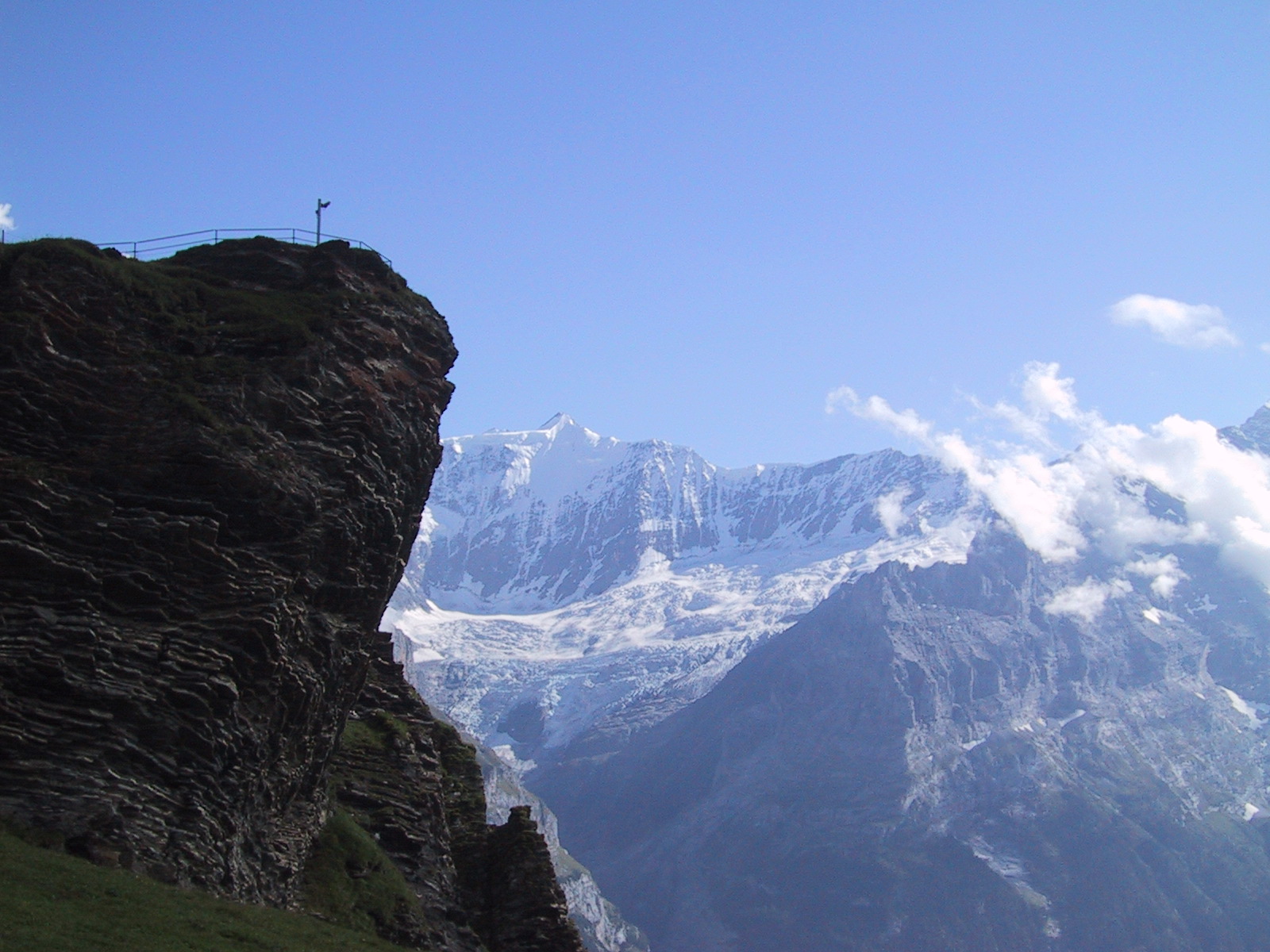
The "thing" on the pole
is a webcam which can be viewed at: www.swisswebcams.ch |
|
|
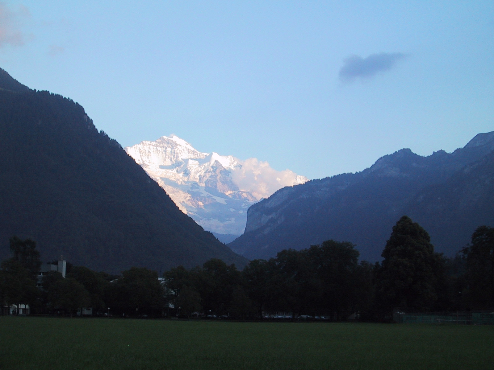
Sunset on Mount Jungfrau as seen from Interlaken. |
| Also see Faulhorn_2012 on a weekend with crystal clear skies |