 |
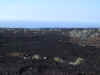
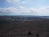
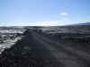
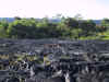
Different
layers of lava at the base of Mount Mauna Loa |
 |
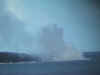
The
crater of Mount Kilauea |
 |
The
"core" crater (i.e. Caldera) of Mount Kilauea. |
 |
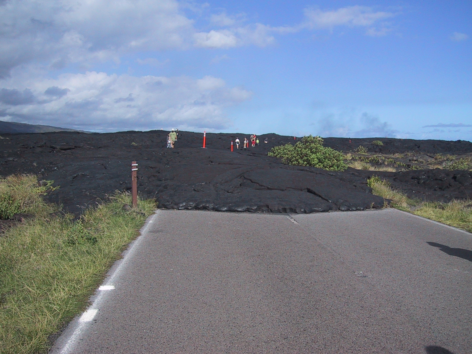
The
"Craters Chain Road" was interrupted by a 1995 eruption. Mount
Kilauea has been active incessantly since 1983. |
 |
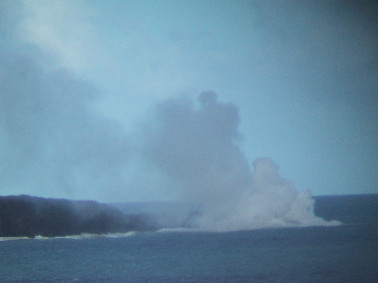
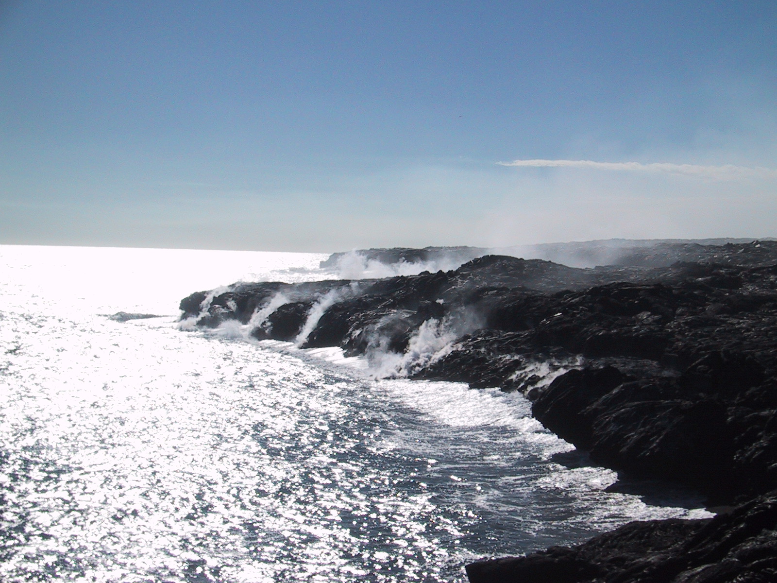
Lava
entering the sea. 400,000 m3 (14 million ft3) are entering the sea on a
daily basis |
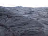 |
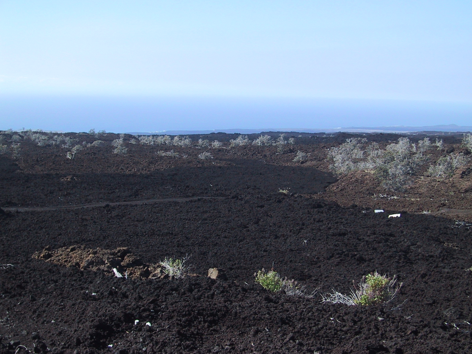
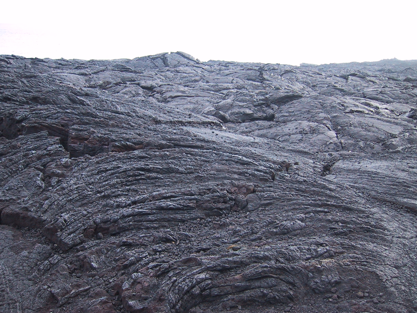
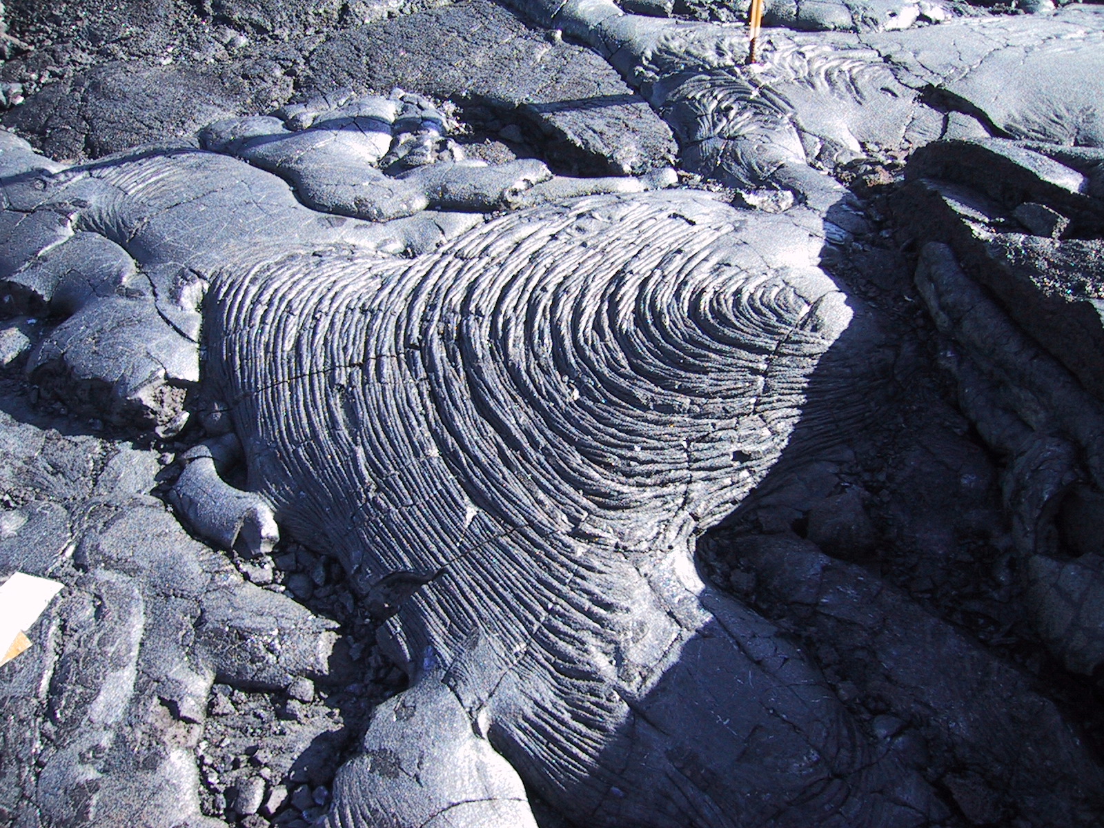
There
are two types of lava: the highly fluid and smooth lava we see here and
the very rubbly lava we saw on the very first picture |
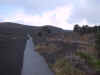 |
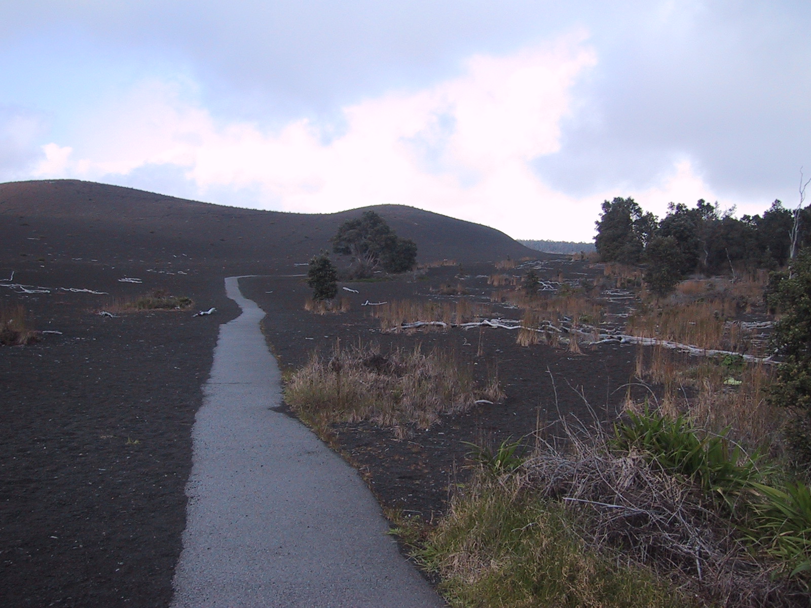
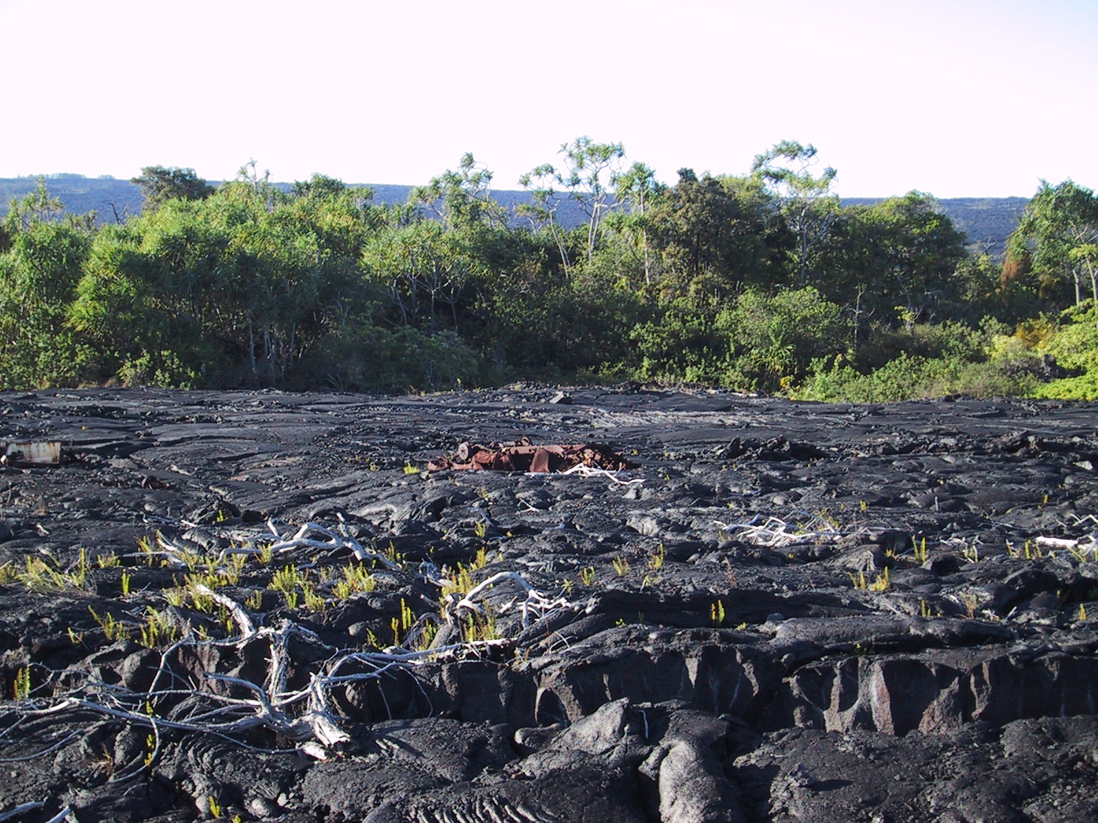
Devastation
Trail |
 |
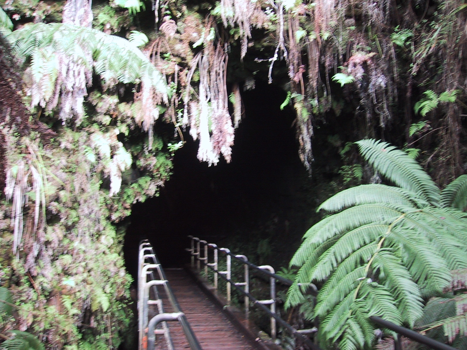
Giant
lava tube |
 |
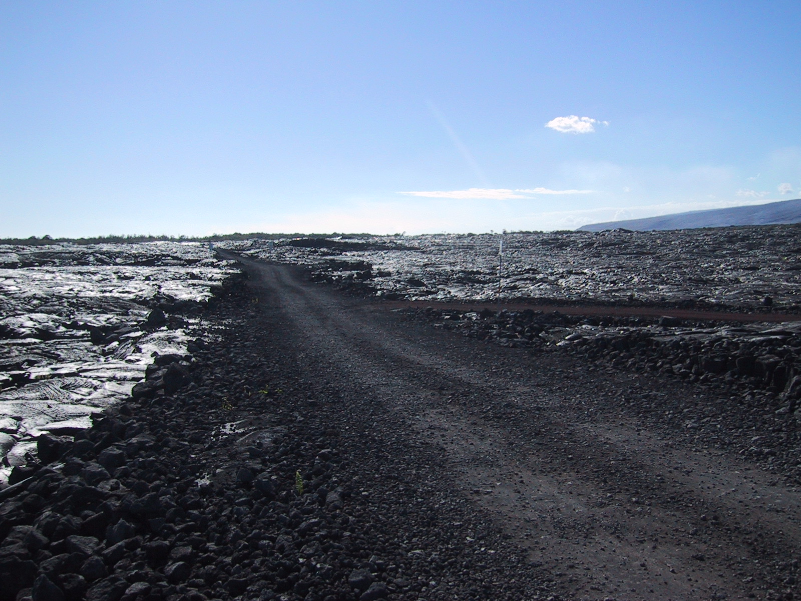
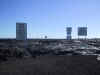
On
the other side of the interrupted Craters Chain Road one can access the
lava stream as close as 100 m (328 ft) passing the fresh lava fields |
 |
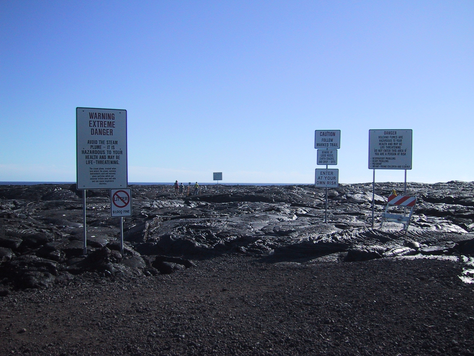
Tourism
the US way. I was actually astonished that I didn't have to sign a five
page waiver of all rights anybody could impossibly think of |
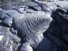 |
The
lava cools in amazing formations |
 |
Close
to the active lava stream. Now the lava is only dripping (one could
actually see it), but there are times when the lava flows like a river
with speeds faster than that of a cyclist |
 |
A car
didn't make it out fast enough |
 |
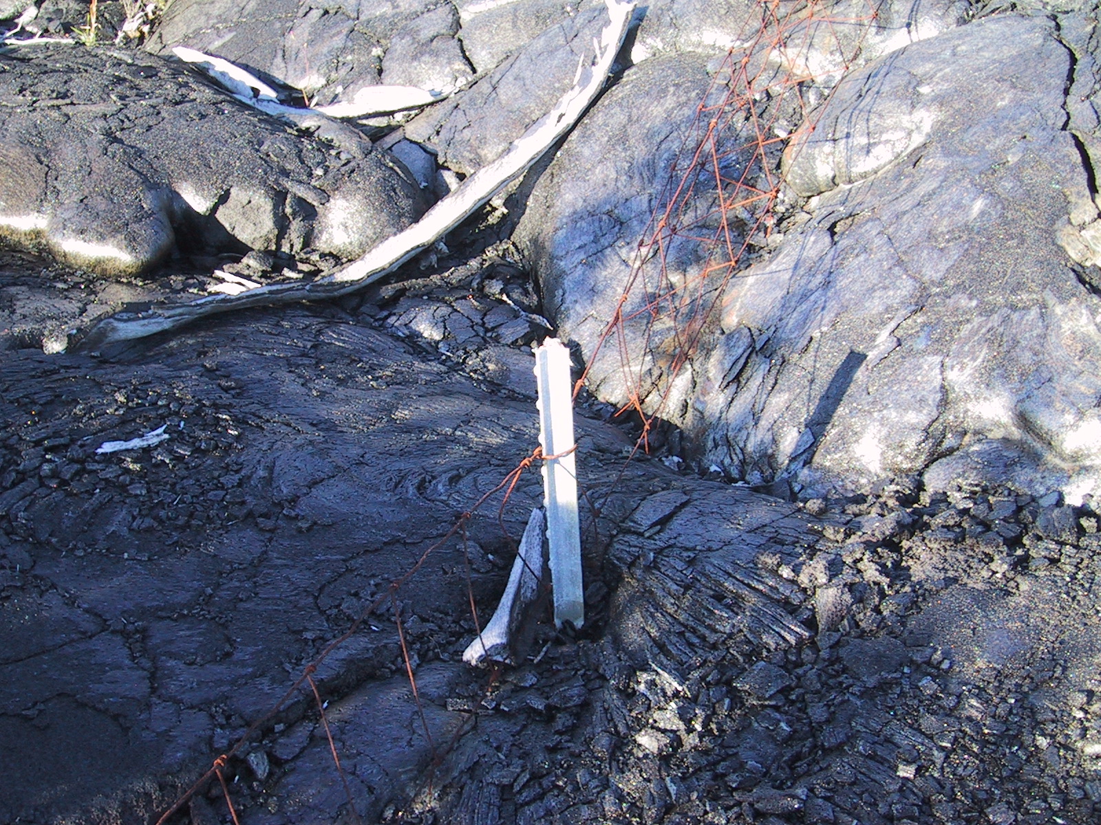
The
lava was as fluid to flow around the fence |
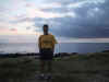 |
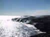
On
the southmost point of the US (Ka Lae - South Cape) |
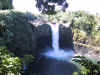 |
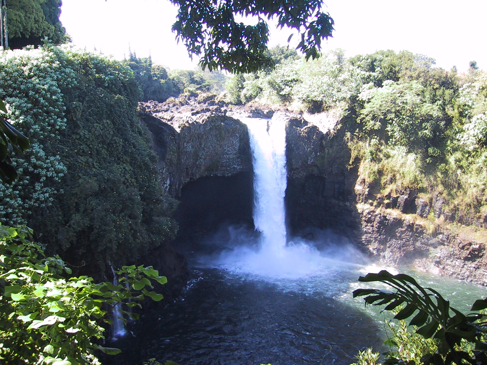
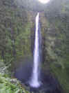
Rainbow
Falls close to Hilo |
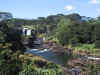 |
Pe'epe'e
Falls close to Hilo |
 |
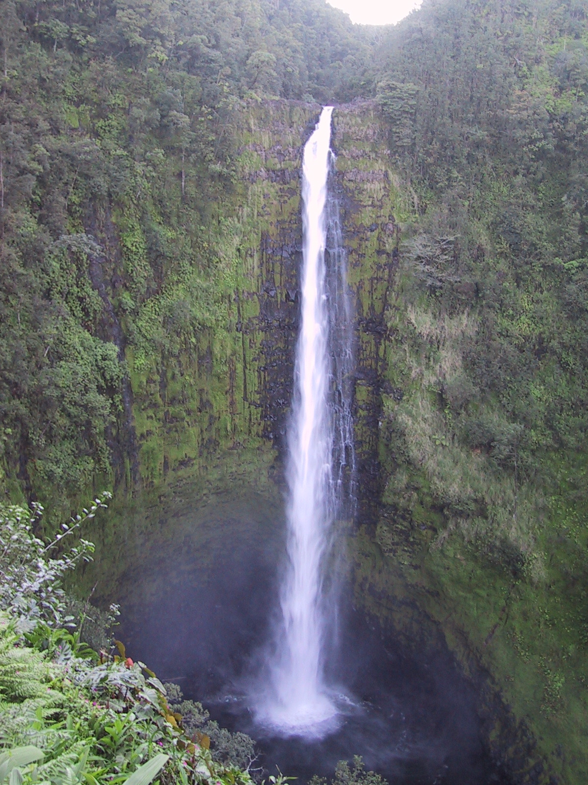
Akaka
Falls, yes you've guessed it right: close to Hilo |
 |
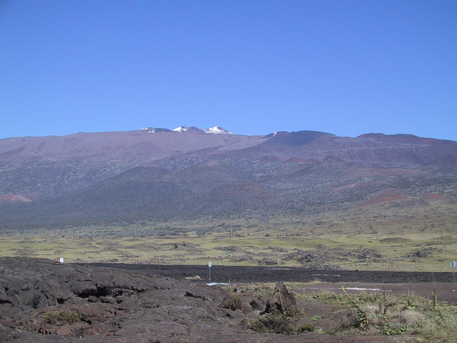
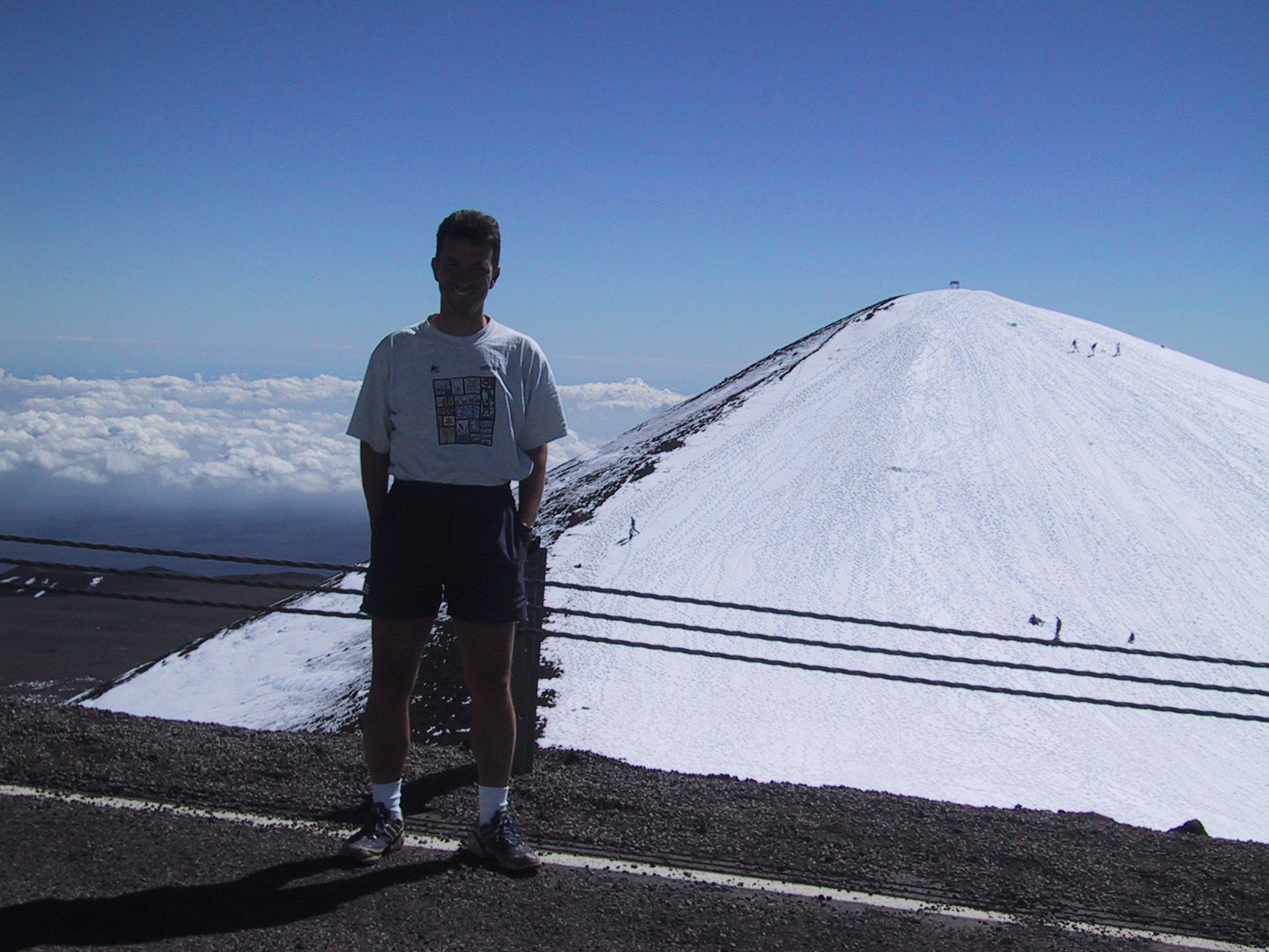
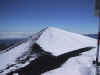
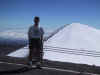
Mount
Mauna Kea (4,205m, 13,796 ft) as seen from the saddle road |
 |
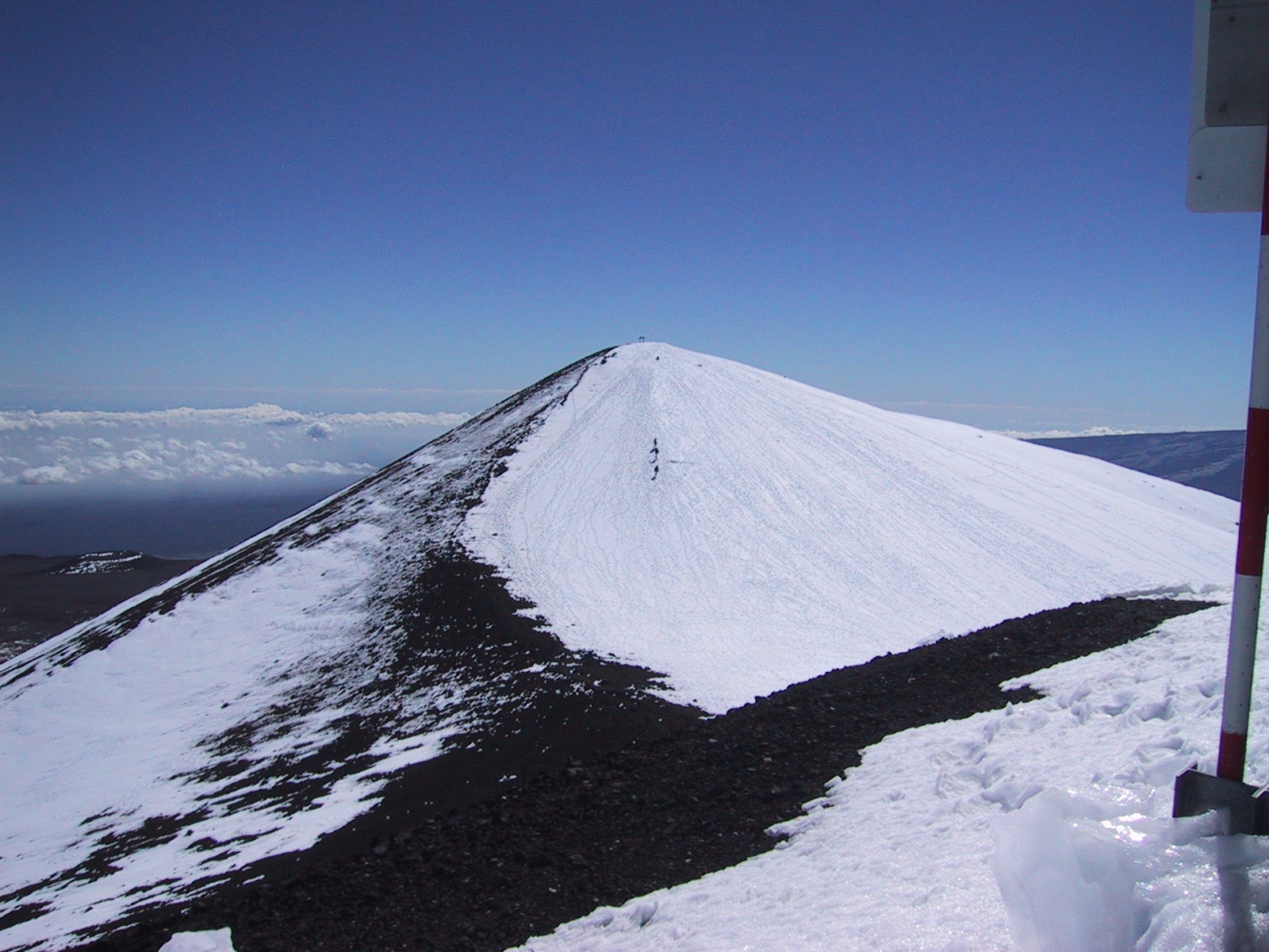
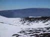
Skiers
and snowboarders on top of Mauna Kea on Christmas Eve, i.e. we had sort of
"White Christmas" |
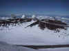 |
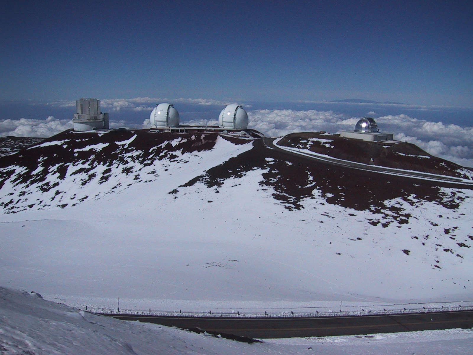
Mauna
Kea is The place for observatories: low pollution (light, smog) |
 |
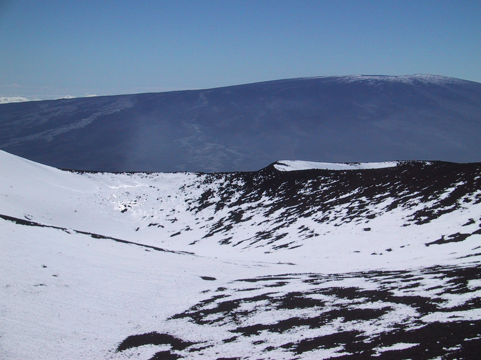
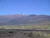
View
across to Mauna Loa (4,169m, 13,679 ft) |
 |
Driving
up on gravel roads (forbidden to rental cars) is easy, as the gravel road
is well groomed and about as wide as an Interstate Highway. However, after
having driven up from sea level you want to be careful about not moving to
fast or your you'll experience the effect of the altitude very quickly |
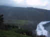 |
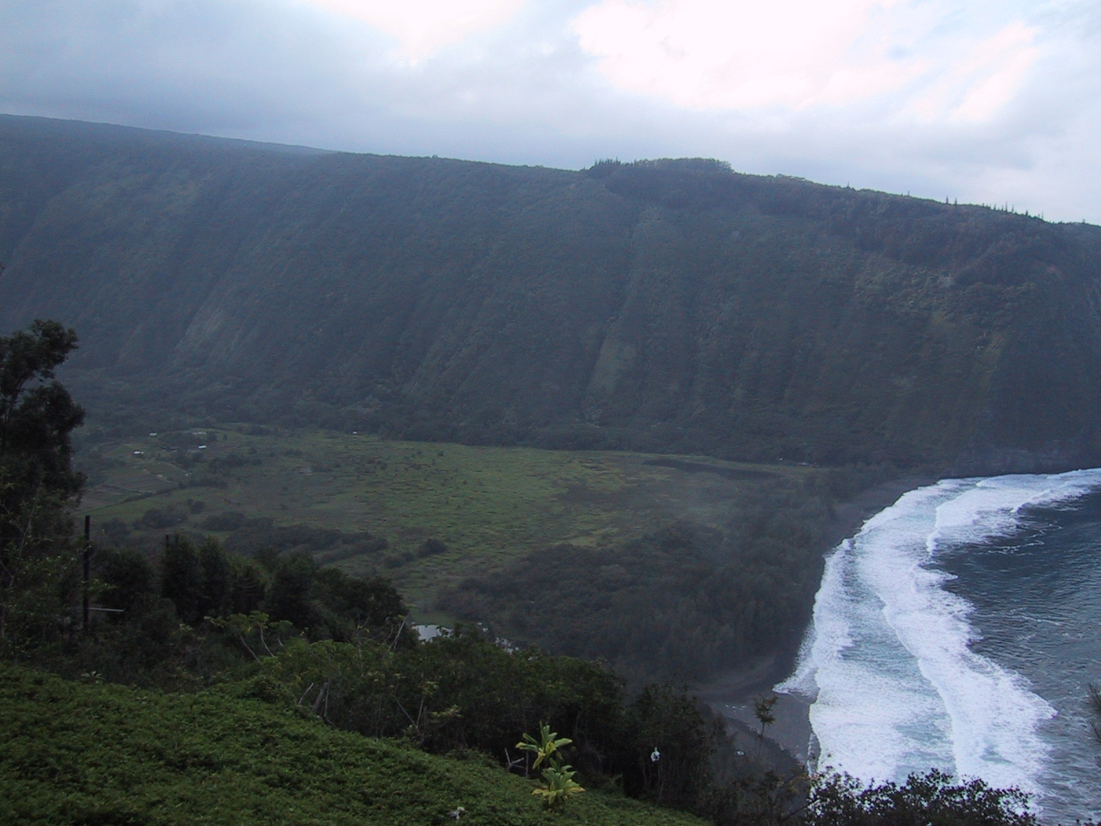
Waipi'o
Valley |
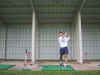 |
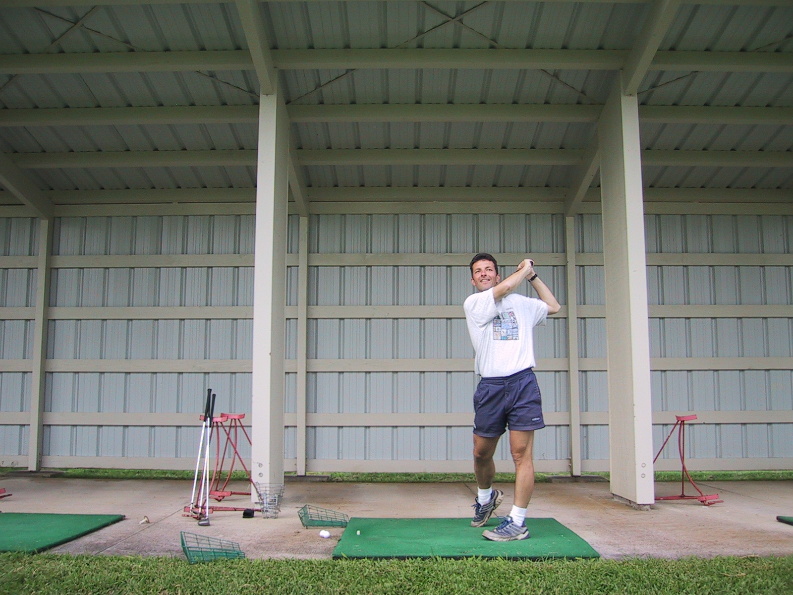
A
quick stop on the driving range on the way home |
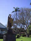 |
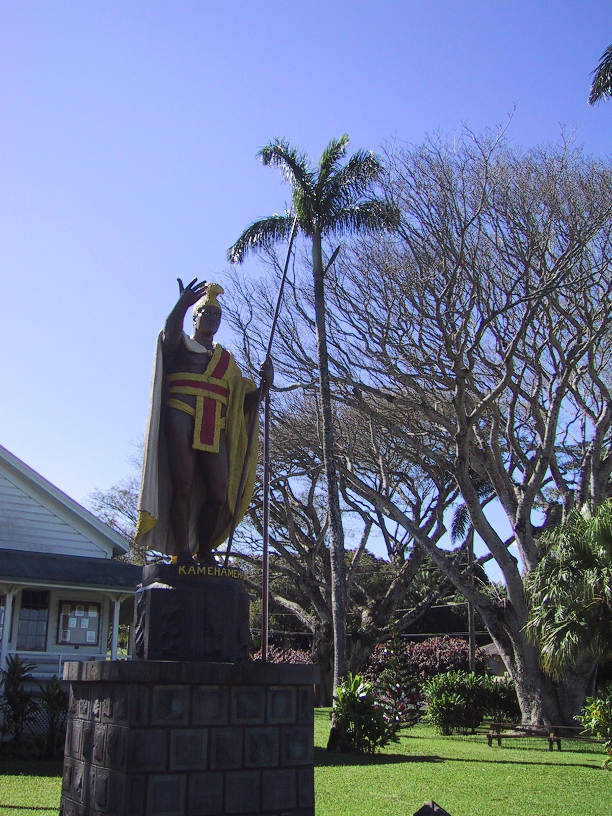
King
Kamehameha statue in Kapa'au. This was the original which was lost in a
storm close to the Falkland Islands (or Malvinas, if you are from
Argentina) and which was recovered miraculously only after a copy was
built. The copy now stands in Honolulu. |
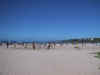 |
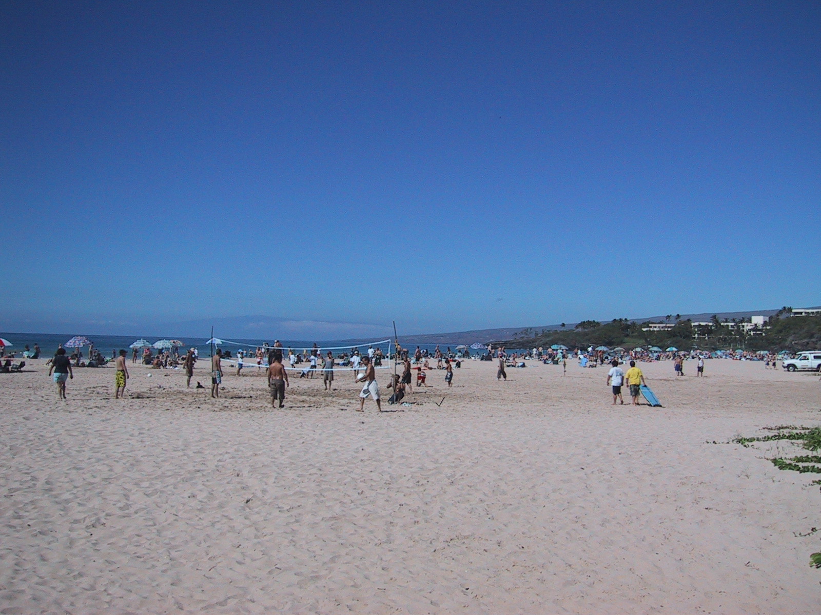
Samuel
M. Spencer Beach Park (Kawaihae Bay) on Christmas Day |
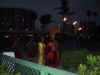 |
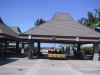
A
Luau in the garden of our hotel (King Kamehameha's Kona Beach Hotel) |
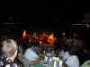 |
ditto.
The stage of the Luau is actually next to a real historical site (King
Kam's study room: Ahu'ena Heiau) |
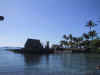 |
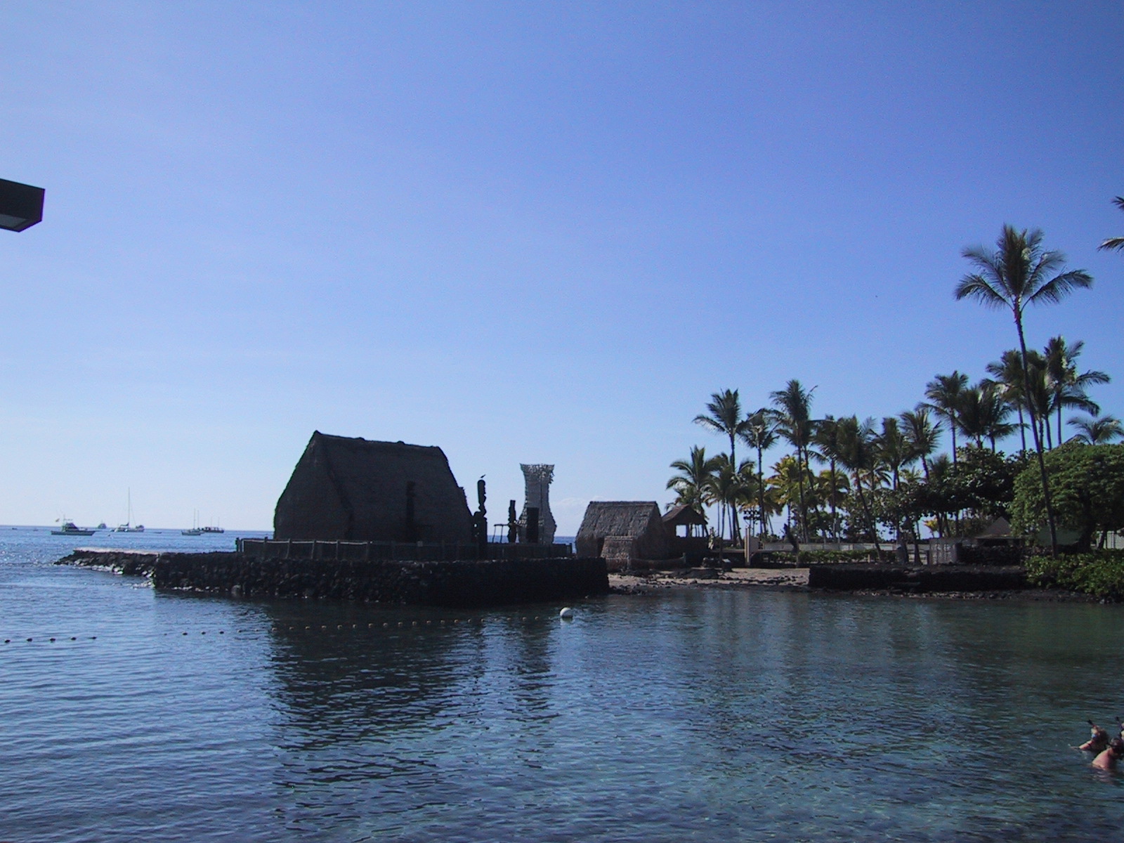
Ahu'ena
Heiau (which is in the hotel park) |
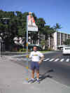 |
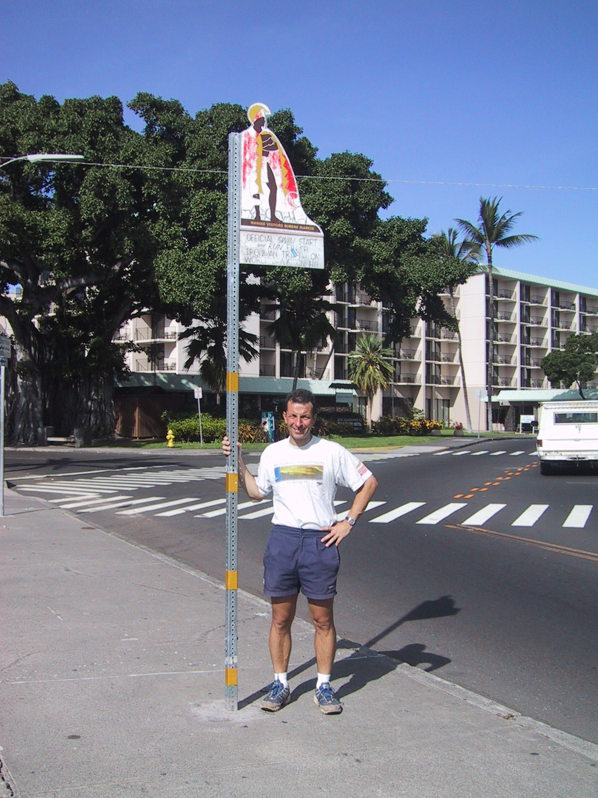
The
King Kam hotel is also next to the official start and finish of the Hawaii
Ironman Triathlon. What an honor to stand here! |
 |
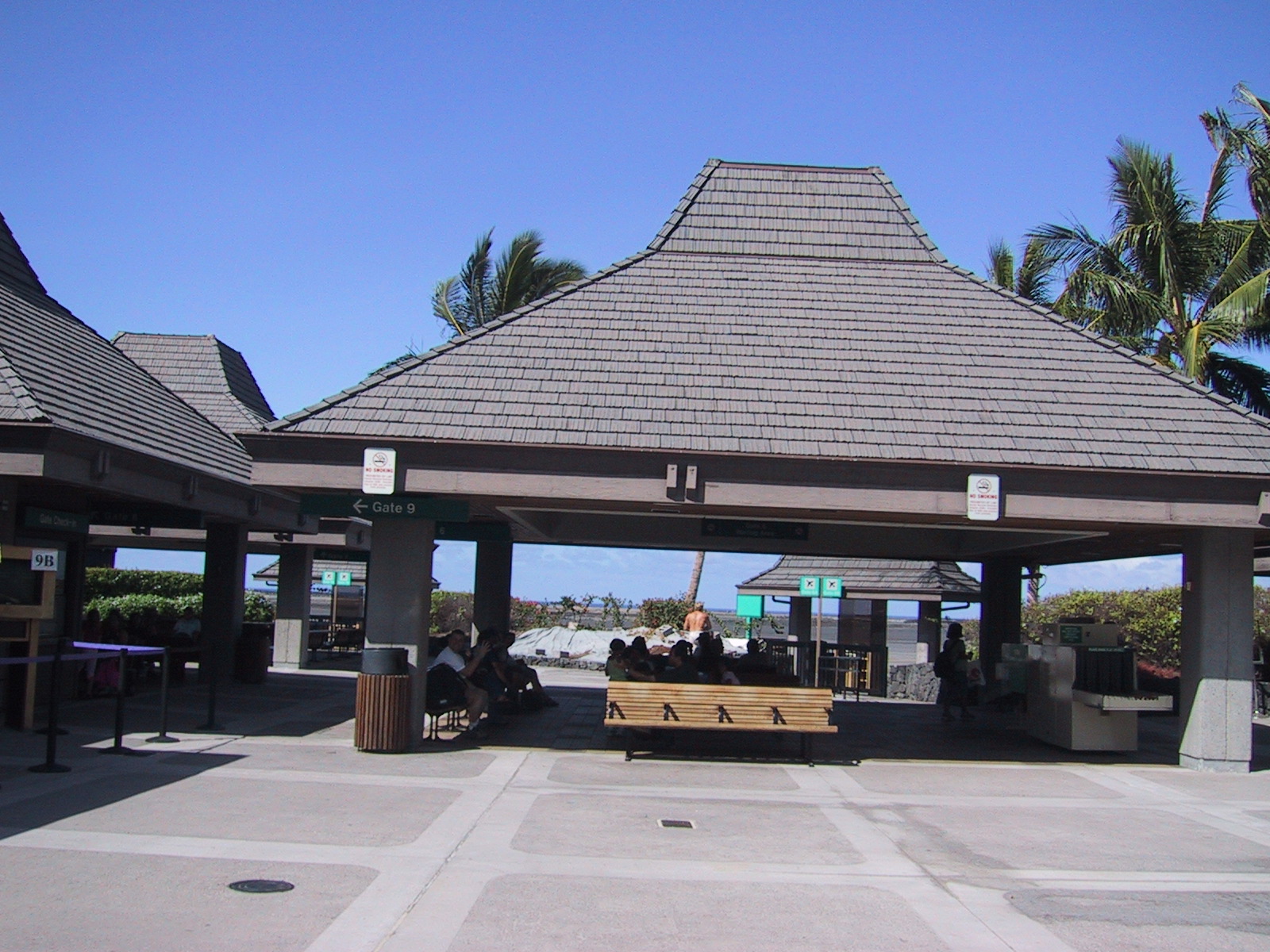
Terminal
at Kona International Airport. Front: main waiting lounge, back: Gates.
This is the final proof that weather is mostly good in Hawaii (at least on
the lee side of the volcanoes). |